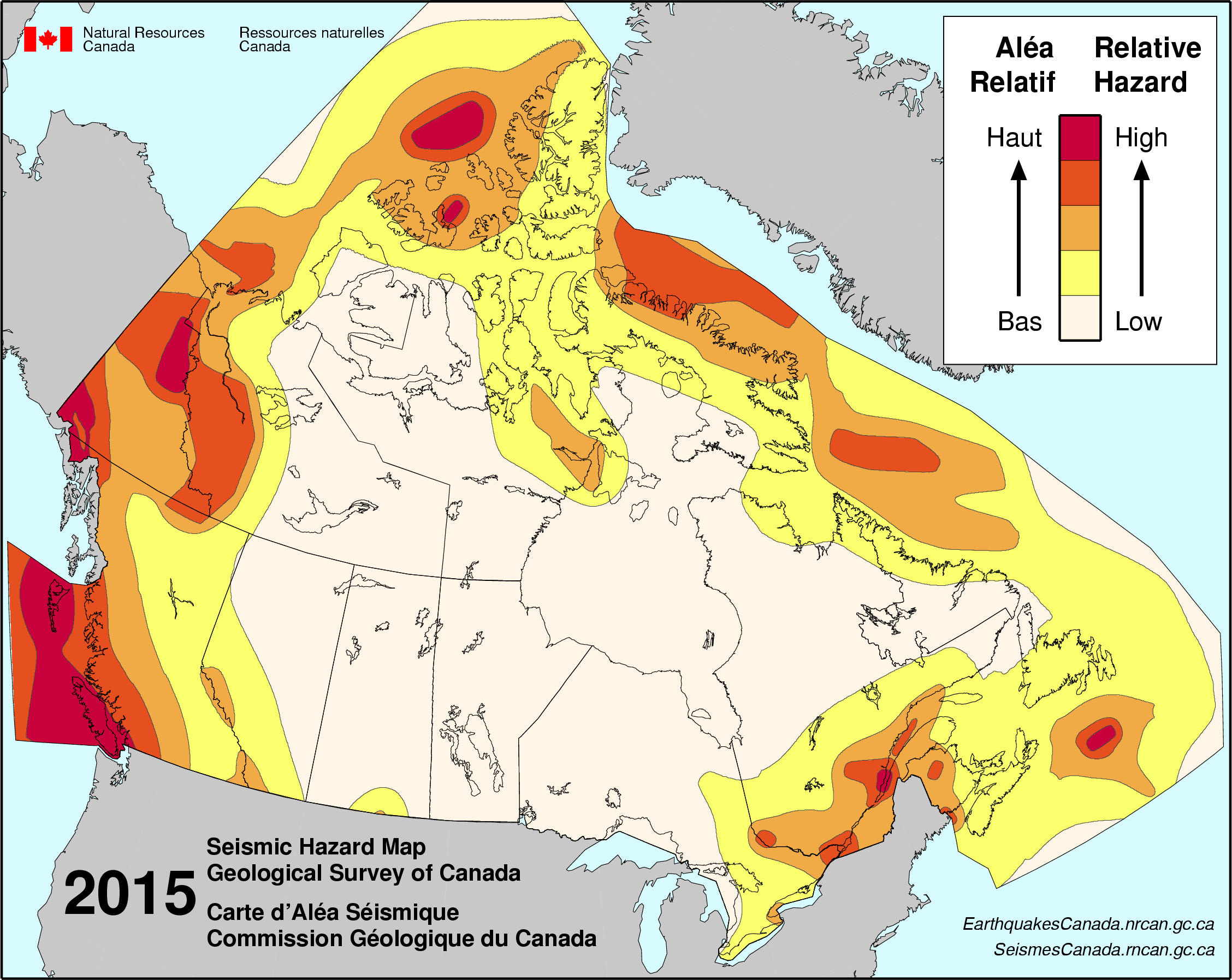
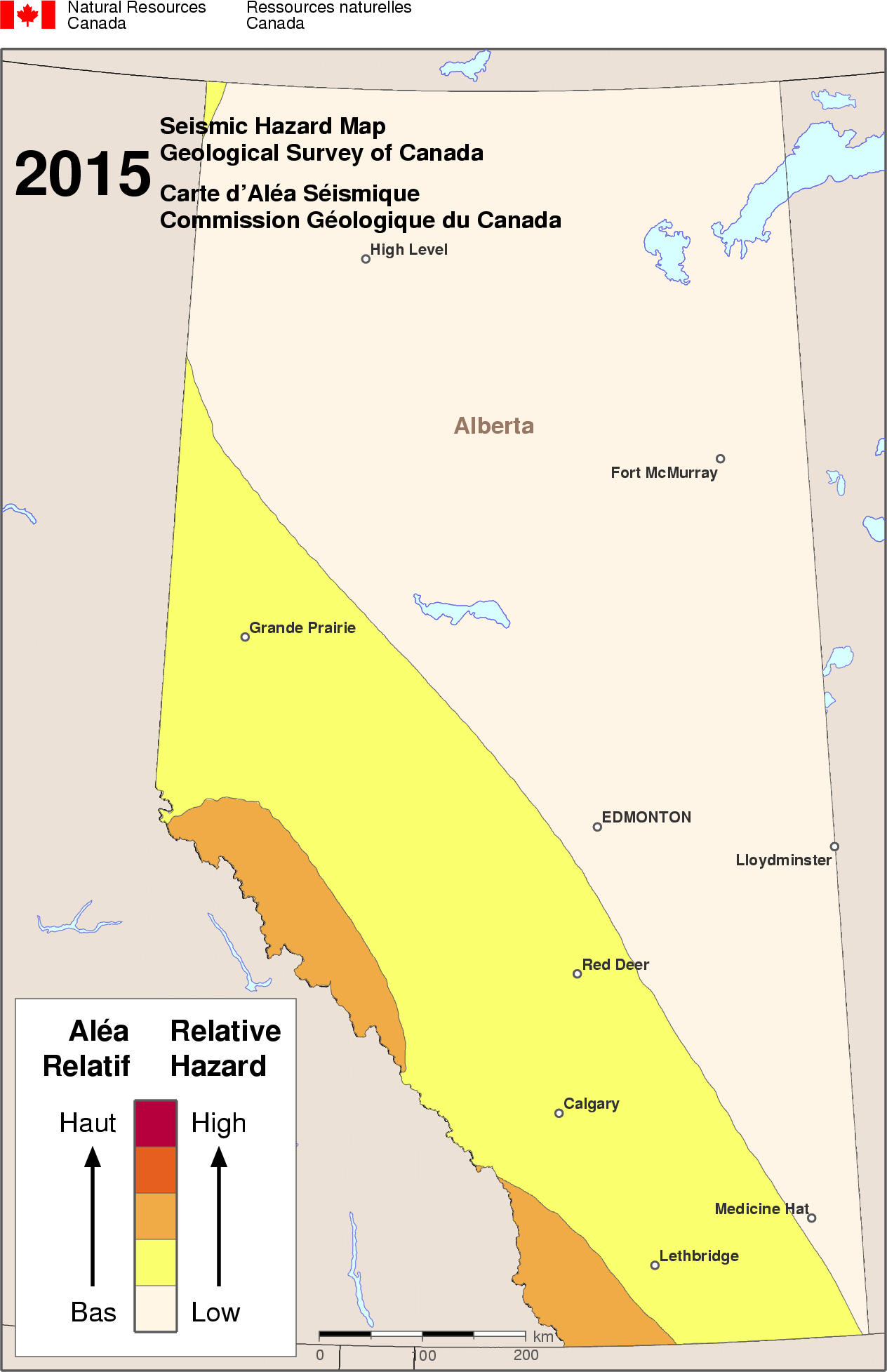
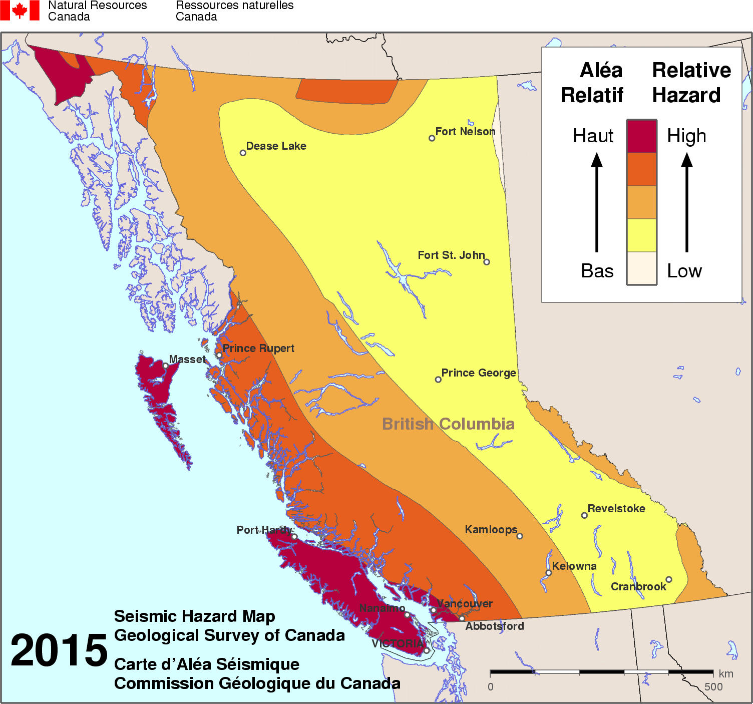
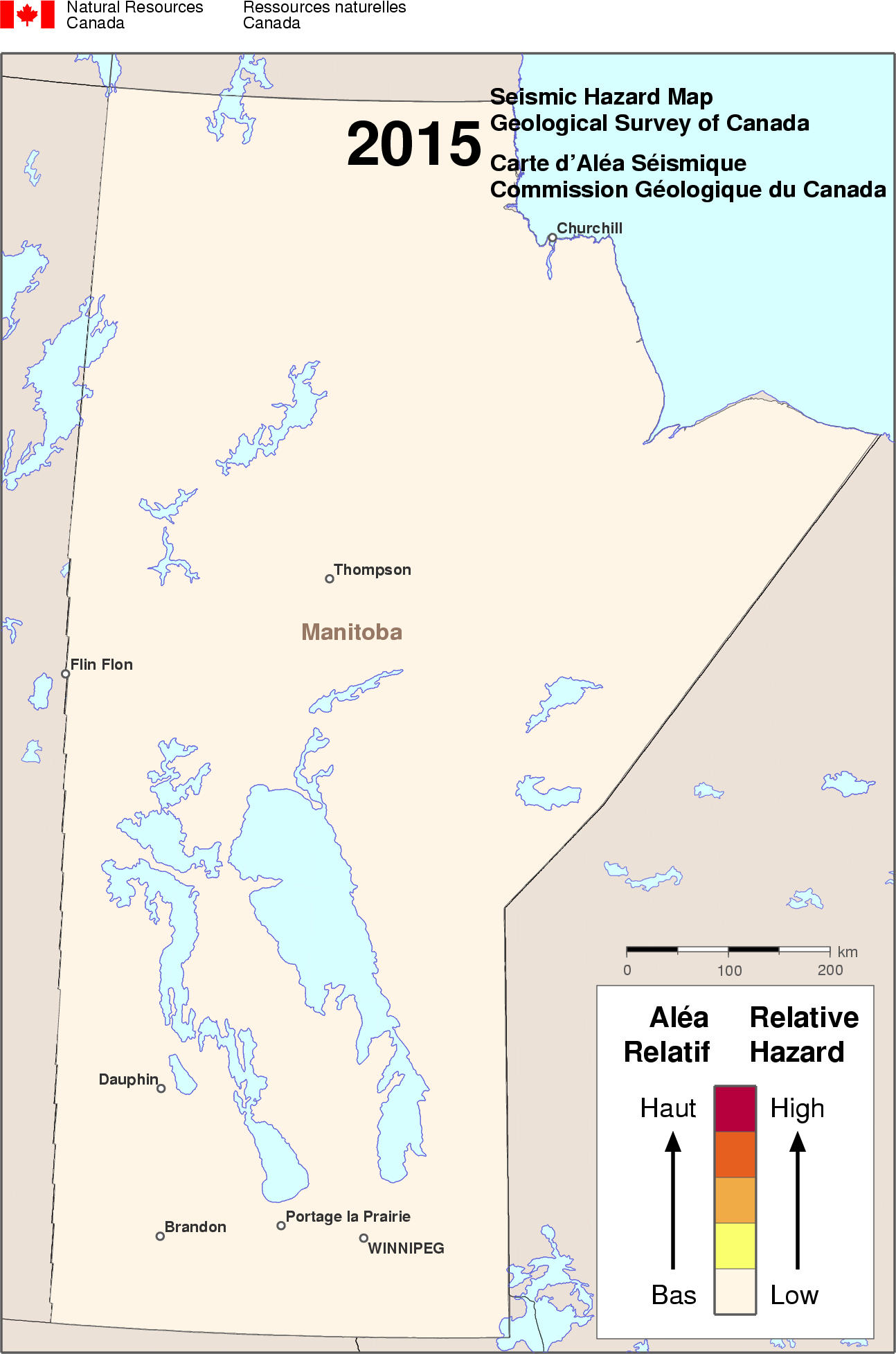
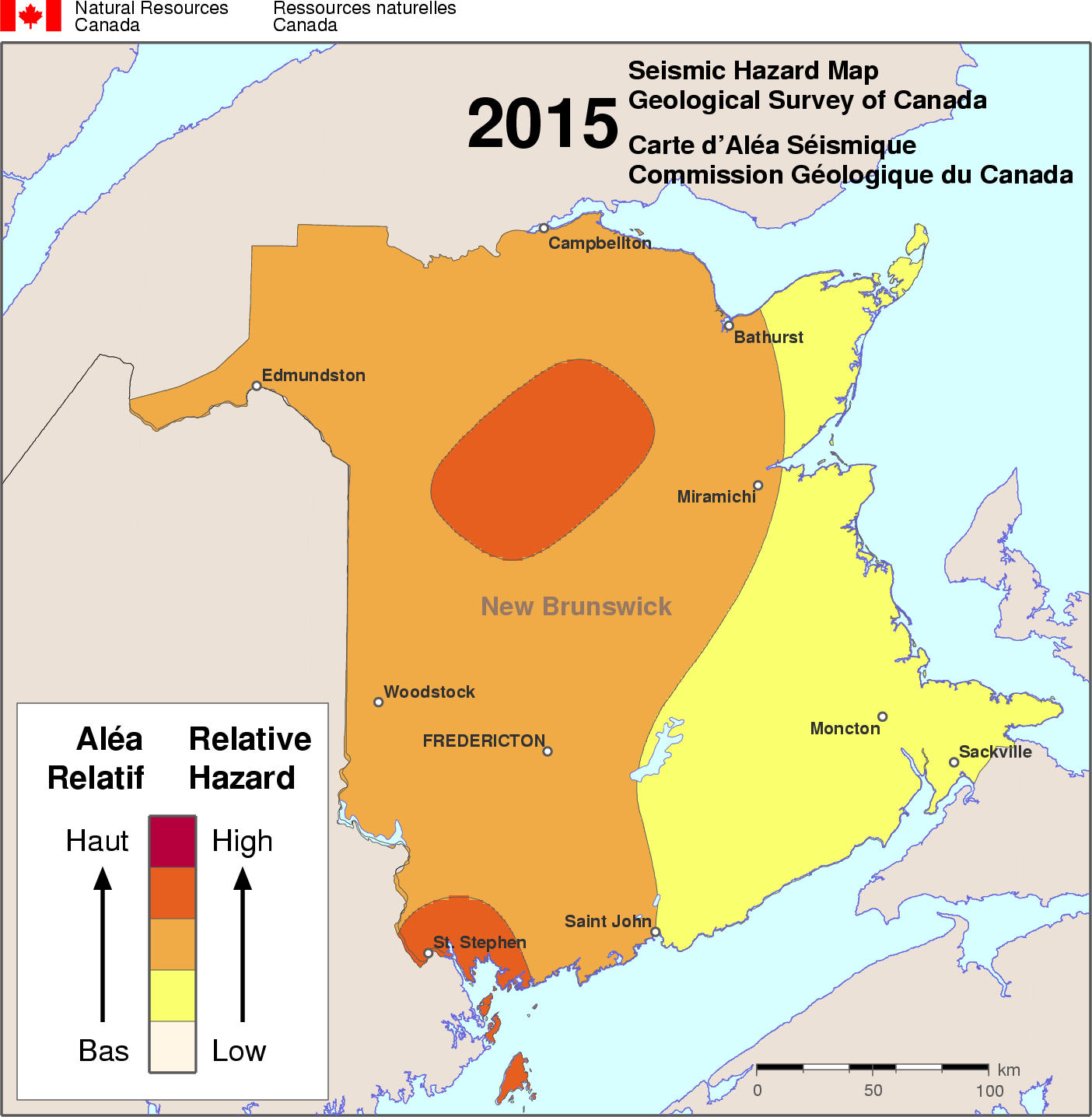
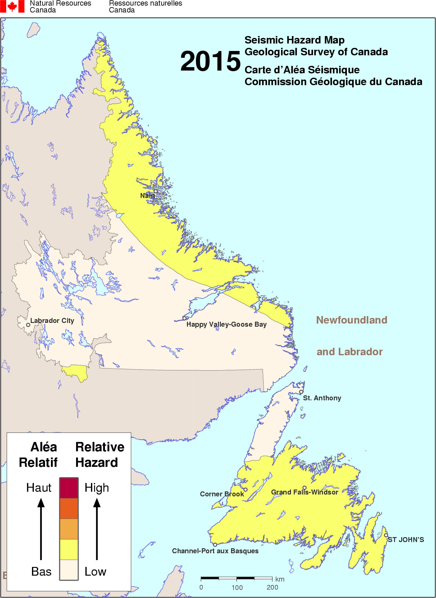
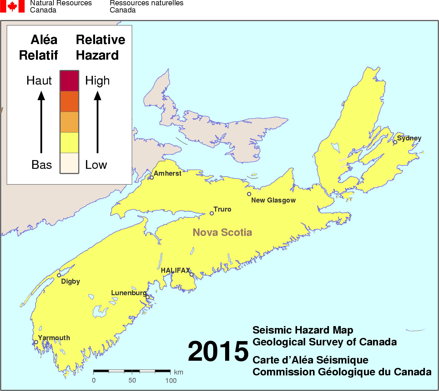
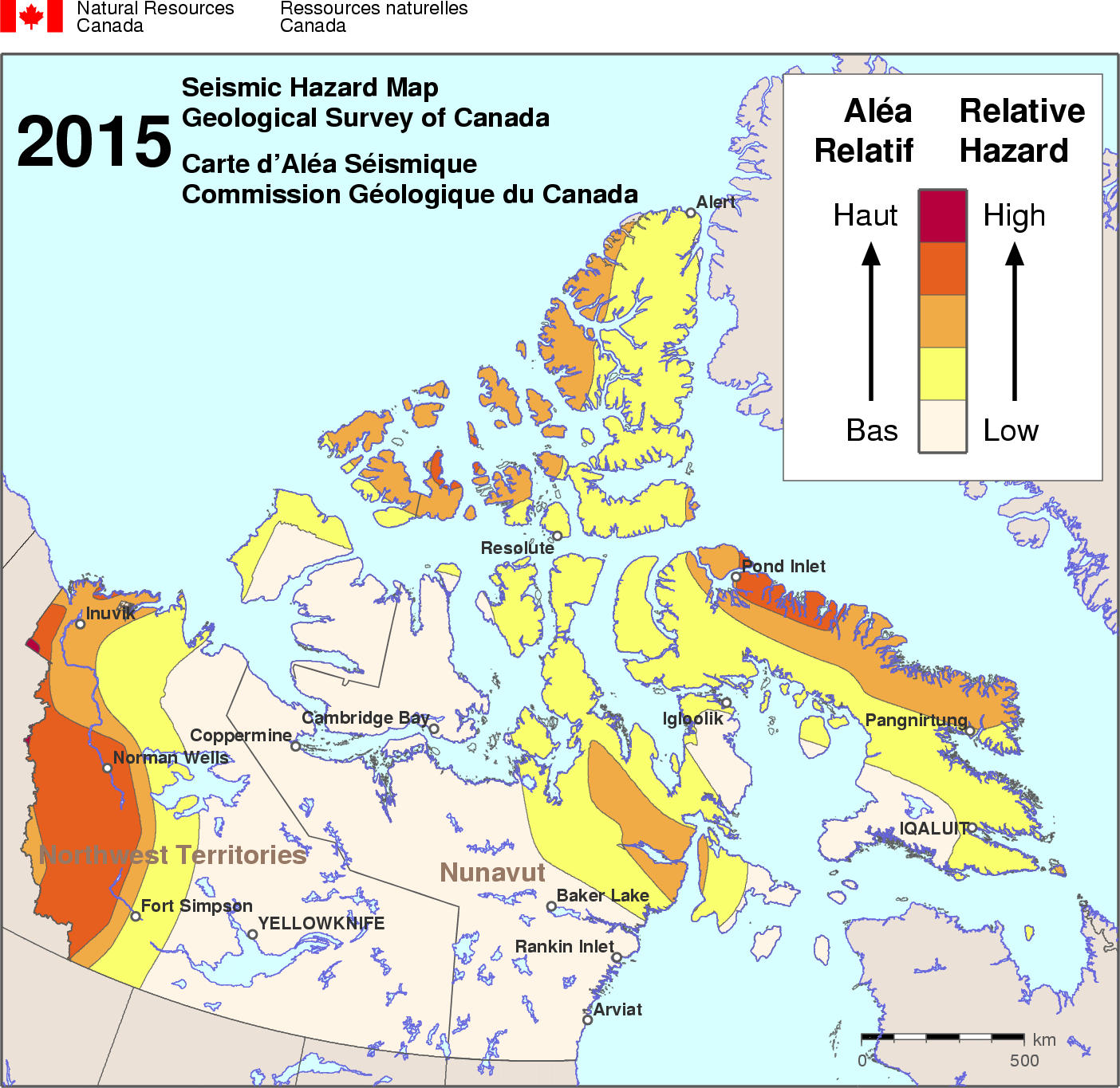
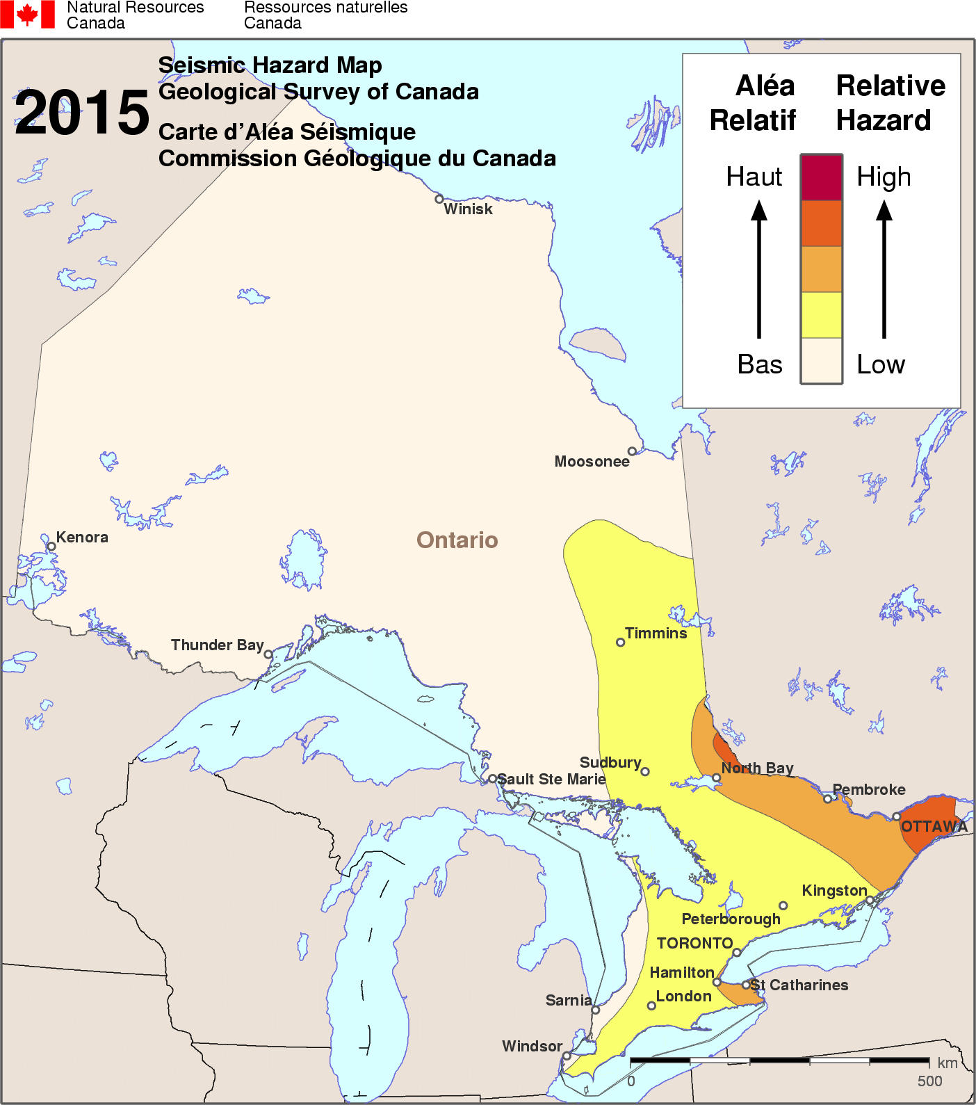
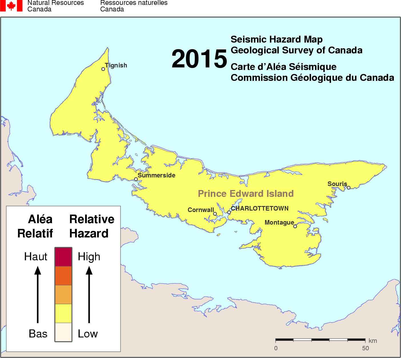
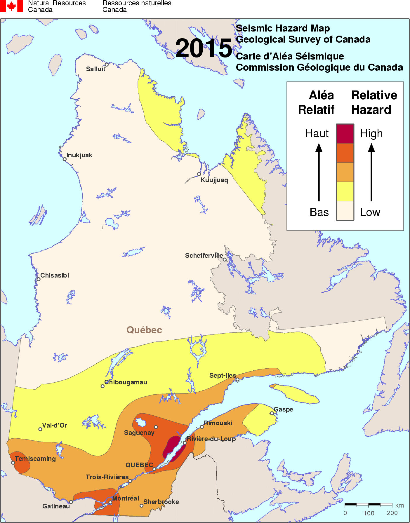
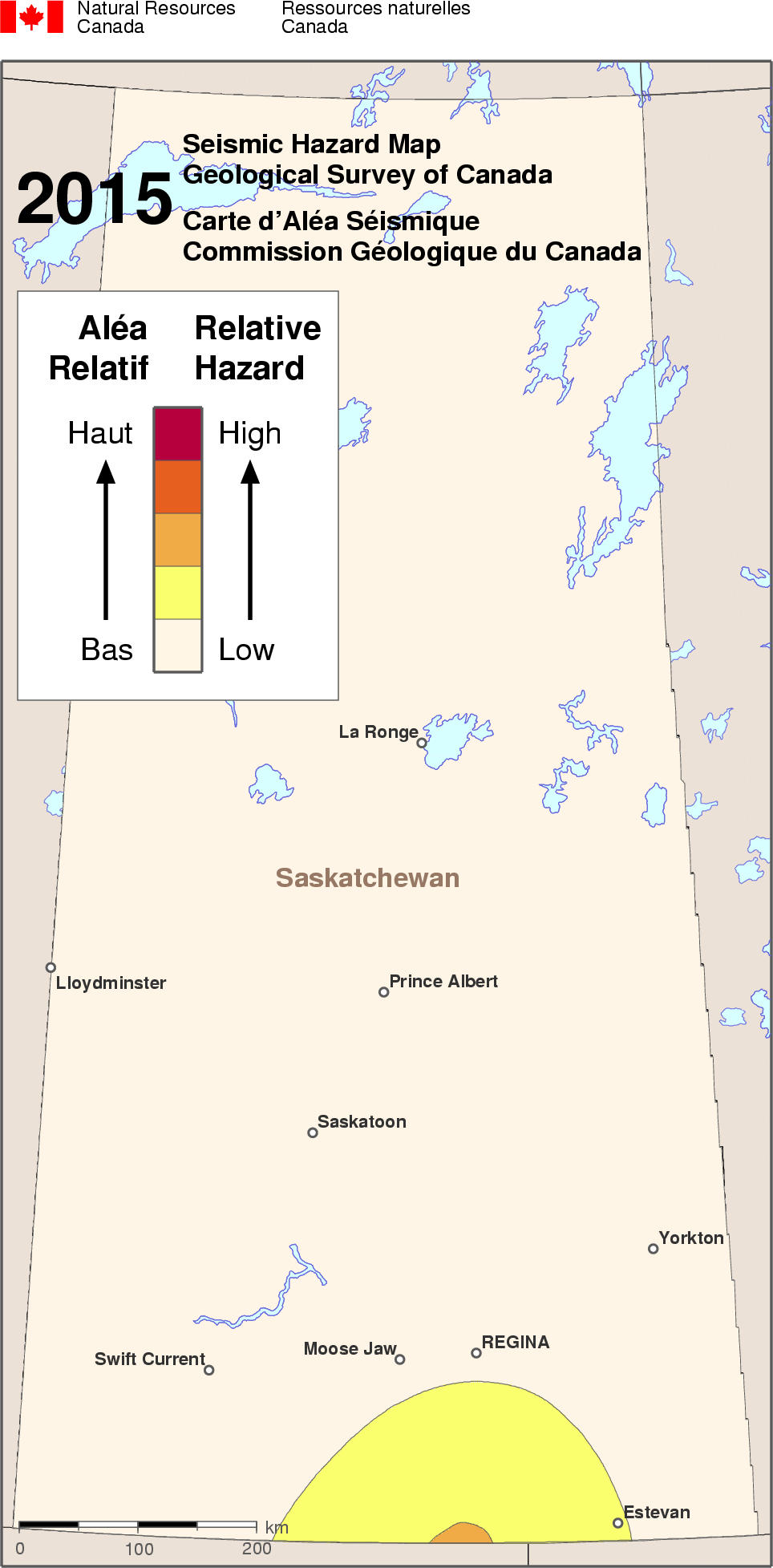
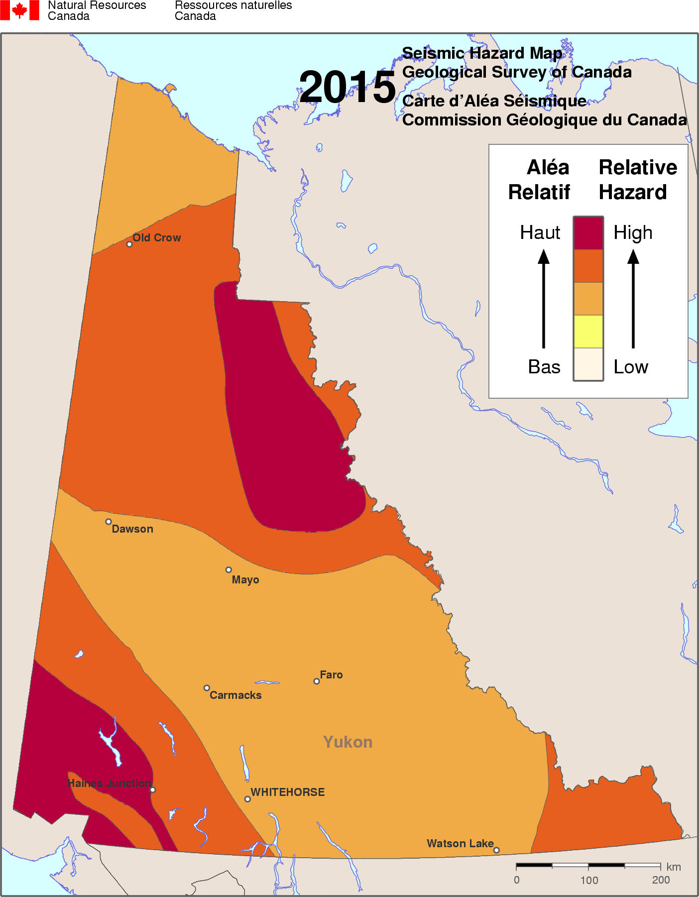
Simplified seismic hazard map for Canada, the provinces and territories
Although earthquakes occur in all regions of Canada, certain areas have a higher probability of experiencing damaging ground motions caused by earthquakes. This probability is used in the National Building Code to help design and construct buildings that are as earthquake proof as possible. The map below provides an idea of the likelihood of experiencing strong earthquake shaking at various locations across the country. This map shows the relative seismic hazard across Canada for single family dwellings (1-2 story structures).
The damage potential of an earthquake is determined by how the ground moves and how the buildings within the affected region are constructed. Expected ground motion can be calculated on the basis of probability, and the expected ground motions are referred to as seismic hazard. The seismic hazard map layer indicates the relative seismic hazard across Canada. The map is a simplification of the National Building Code of Canada seismic hazard map for spectral acceleration at a 0.2 second period (5 cycles per second), and shows the ground motions that might damage one- to two-storey buildings. The probability of strong shaking (strong enough to cause significant damage in a fraction of these buildings) is more than 30 times greater in the regions of highest hazard (at least a 30 per cent chance of significant damage within towns of these regions every 50 years) than in the regions of lowest hazard (less than 1 per cent chance in 50 years). In the region of moderate hazard, there is a 5 to 15 per cent chance that significant damage will occur every 50 years.
